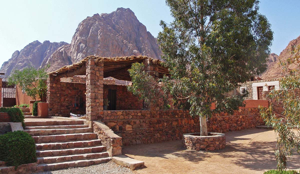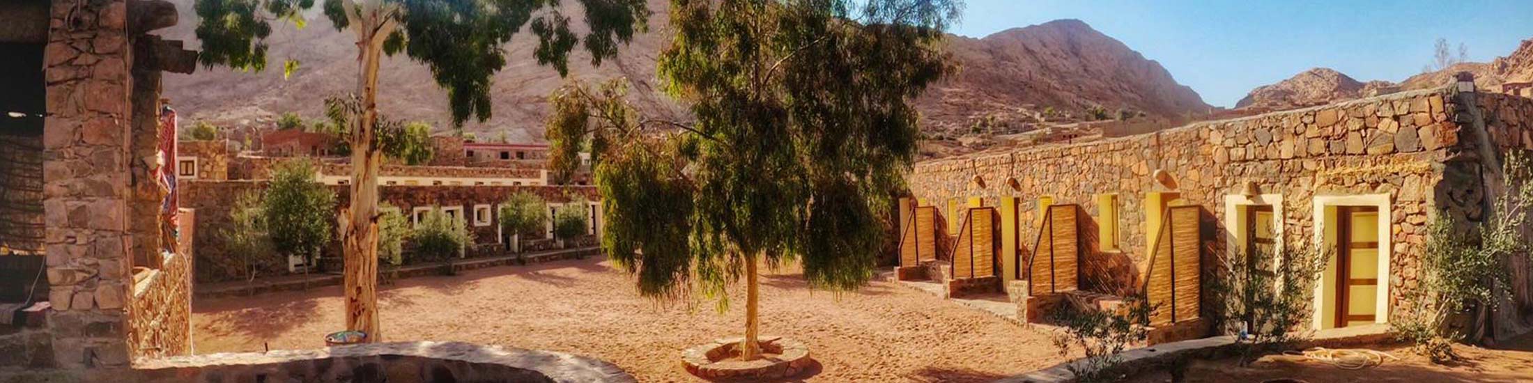
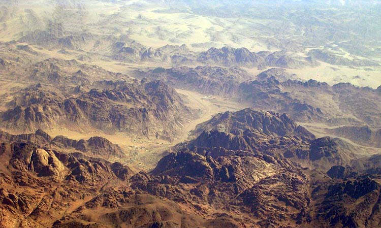
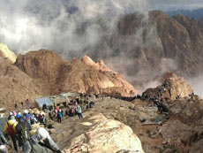
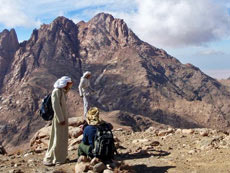
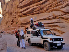
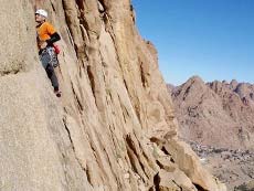
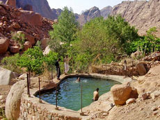
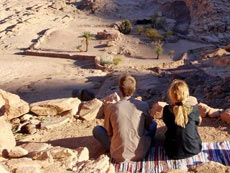
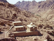
 The High Mountain Region, home to the Jabaleya Bedouin, is located around the town of St. Katherine. The town itself lies at around 1600 meters from sea level, and many of the mountains around it are above 2000 meters, with Mt. Katherine the tallest at 2642 meters. The most famous attractions are the Monastery of St. Katherine and Mt. Sinai due to their religious and historical significance, but the larger area, little known for most Westerners, is a unique trekkers' paradise. Because of its elevation the area receives more precipitation than the rest of the Sinai peninsula and, despite the drought, is still relatively wet - it is a desert ecosystem, but there are hundreds of Bedouin orchards and a couple of permanent natural waterpools in which you can swim. The area is mostly granite with the characteristic smooth red domes and hidden basins, although about 20% is newer volcanic rock, black-colored and covered with broken, loose gravel. The whole region stands above the rest of the peninsula, and from its perimeter you can see down to the plains or smaller ranges surrounding it. The climate is cooler than the rest of Egypt's, making possible a unique flora and a wide variety of domesticated fruit species. In winter there might be snow and the temperatures can drop far below zero at higher elevations, although the days are usually still pleasantly warm. The area is full of attractions, all very different in nature, and interesting treks are possible
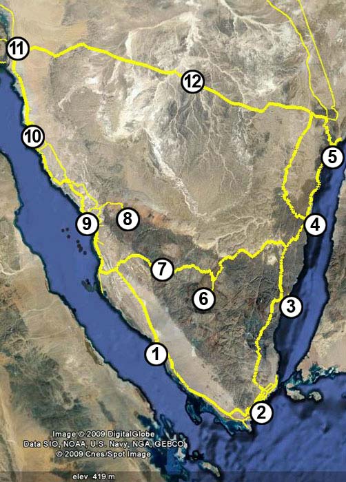 The capital of the Governorate of South Sinai is El Tur (1), although the biggest and most developed city is Sharm el Sheikh (2). Another popular destination is Dahab (3), a smaller and more laid back place, attracting mostly the independent traveler. In Nuweiba (4), the gateway to Jordan, and further north along the road until Taba (5), there are many quiet and laid-back camps offering simple huts right on the beach. The road beyond Taba leads to the only border crossing to Israel. In the center of the mountainous interior is the town of St. Katherine (6), famous for Mt. Sinai and the Monastery of St. Katherine. Wadi Feiran (7) and Serabit el Khadim (8) are smaller settlements with important historical and archeological sites. The coastal town of Abu Zenima (9) is a small place with a few shops and cafeterias from where transport can be organized to Serabit el Khadim. Ras Sudr (10), further to the north, is a sea-side destination popular with people from Cairo. To Suez and Cairo the road connects via a tunnel (11) under the Suez canal, and from here there is also a road going to North Sinai, and another, the ancient caravan route of pilgrims from Cairo to Mecca, cuttingacross the peninsula via the interior at Nakhla (12) and connecting to the Gulf of Aqaba.


St. Catherine, El Milgah
South Sinai EGYPT
Email: sheikmousa@gmail.com
Mobile: 01006413575 and 01006880820
Phone: (002) 69 3470 457
Fax: (002) 69 3470 042